The Indian Institute of Remote Sensing (IIRS) has announced a free online certificate course on Remote Sensing and GIS Applications. The course is open to all and aims to provide basic knowledge and skills in remote sensing and geographic information system (GIS) applications.
The course will be conducted through the IIRS e-learning portal, and participants can access the course content at their own pace and convenience. The course will cover topics such as remote sensing principles, satellite platforms and sensors, image processing, and GIS applications.
To apply for the course, interested candidates can visit the IIRS website and register themselves. They will receive a confirmation email with their login credentials, which they can use to access the course content.
The course is designed for beginners who want to learn about remote sensing and GIS applications. It is particularly useful for students, researchers, and professionals who are interested in using remote sensing and GIS for various applications such as natural resource management, urban planning, disaster management, and environmental monitoring.
Participants who successfully complete the course will receive a certificate of participation from the IIRS. The certificate can be used to enhance their resume and showcase their skills to potential employers.
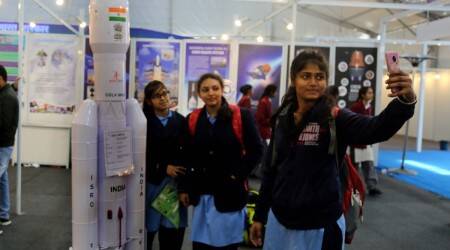
The IIRS is a premier institute for research, education, and capacity building in the field of remote sensing, GIS, and geoinformatics. It is a constituent unit of the Indian Space Research Organization (ISRO) and is located in Dehradun, Uttarakhand.
The institute offers a wide range of training programs, short-term courses, and online courses on remote sensing, GIS, and related applications. These courses are designed for students, researchers, and professionals who are interested in learning about the latest advancements in remote sensing and GIS technology.
Apart from the online certificate course, the IIRS also offers a variety of other online courses such as Advanced Remote Sensing Techniques, Geospatial Technology for Disaster Management, and GIS Applications in Watershed Management. These courses are conducted by experienced faculty members and provide hands-on training on the latest software tools and techniques used in the industry.
The IIRS also conducts research in various areas such as earth observation, natural resource management, and climate change. The institute has state-of-the-art facilities such as a Remote Sensing Data Centre, Geospatial Computing Facility, and Satellite Data Processing and Analysis Centre, which are used for research, education, and outreach activities.
In conclusion, the IIRS online certificate course on Remote Sensing and GIS Applications is a great opportunity for individuals who want to learn about remote sensing and GIS applications. The course is designed to provide a strong foundation in the fundamentals of remote sensing and GIS and equip participants with the skills and knowledge required for various applications. Interested candidates should apply for the course and make the most of this opportunity.


